


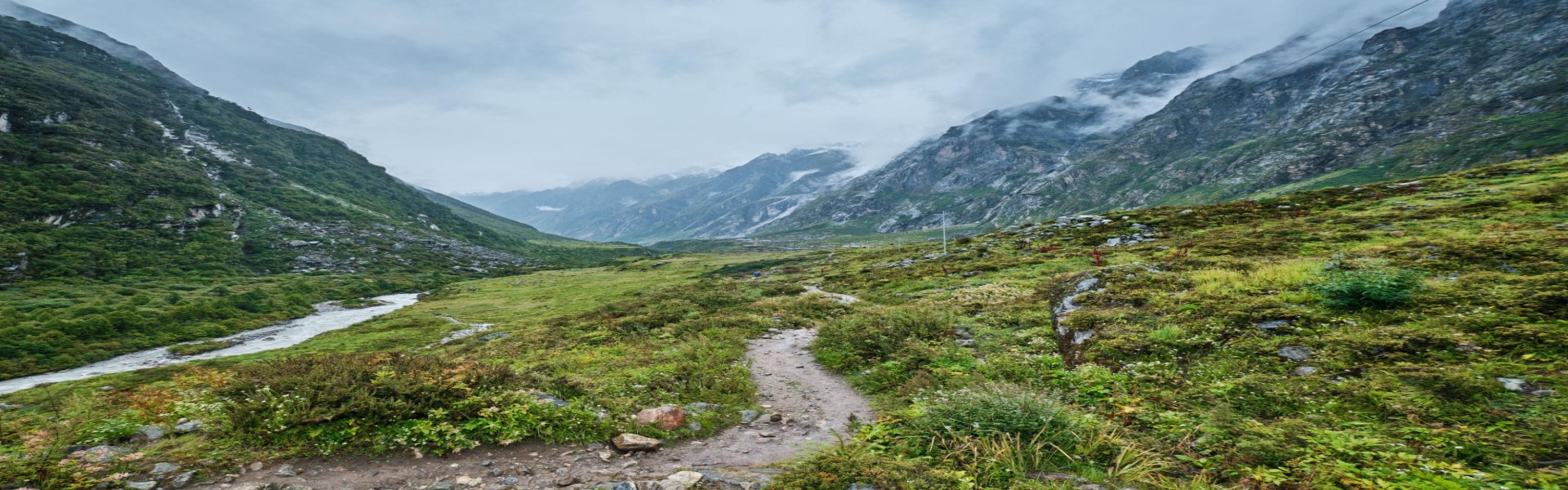
On 26 August 2026, a catastrophic flash flood tore through Nepal's Rasuwa district, damaging the roads and bridges that access Langtang, Gosaikunda, the Tamang Heritage Trail and the overland route to Tibet. The trails themselves are largely intact — it's the drive-in that's disrupted. Here's what's changed, which routes still work, and how to get to Gosaikunda and beyond right now.
Table of Contents
Nepal Floods and Landslides, August 2026: Route Updates for Gosaikunda, Langtang, Tibet and Beyond
Last updated: 29 August 2026. This is a fast-moving disaster and the details below will keep changing — please treat this as a starting point, not a final word, and confirm live conditions with us or with official sources before you travel.
On the morning of 26 August 2026, a catastrophic flash flood tore down the Bhote Koshi river from the Tibetan side of the border, hitting the Nepali towns of Timure and Syabrubesi in Rasuwa district before continuing downstream through Nuwakot. The most likely trigger was a glacier and rockslide collapse that dammed a tributary stream, which then gave way all at once. The toll is severe and still rising: as of this week, Nepal has confirmed several hundred dead and hundreds more missing, with additional casualties reported just across the border in Tibet. Our thoughts are with everyone affected, and with the rescue teams still working in Rasuwa and Nuwakot.
Beyond the human tragedy, the flood badly damaged roads, bridges and the Rasuwagadhi–Kerung border crossing — the main overland corridor for several of Nepal's most popular treks and for overland travel to Tibet. Here's what we currently know, region by region.
Gosaikunda: road access cut, but there's a walking alternative
The lake itself and the high trail around it are not in the flood path. The problem is getting there: the usual approach road through Trishuli and Betrabati is closed and torn apart in sections.
There is a longer, road-free alternative that avoids the damaged corridor entirely: Sundarijal – Chisapani – Thadepati – Ghopte – Gosaikunda – Thulo Syabru – Pairo – Lama Hotel – Langtang – Kyanjin, walked in and out on foot. It adds trekking days compared with driving to the trailhead, but it keeps you well away from the affected river valley. Separately, an earlier landslide (unrelated to the 26 August flood) had blocked the Deurali–Dimsa section of the Gosaikunda trail near Khimdi; the Nepal Army has since cleared that debris and restored foot traffic there.
Langtang Valley and Kyanjin Gompa: trail believed clear, drive-in is the constraint
The Langtang trail follows the Langtang Khola and sits outside the river system that flooded, so it isn't believed to be in the flood's path. That's not the same as a formal all-clear, though — no engineering assessment of the full trail has been published, and scattered landslide damage anywhere in Rasuwa is plausible after this much water moved through the district.
The real bottleneck is the road in. The Pasang Lhamu Highway has damaged sections, and Syabrubesi — normally the first overnight stop for Langtang treks — has taken structural damage of its own. For departures in the next two to three weeks, plan on disruption. For trips further out, such as October, everything depends on how quickly the highway is repaired and Syabrubesi's infrastructure recovers.
Overland Tibet and Kailash: the border crossing is out for the season
This is the most serious change for anyone with an overland Kailash Mansarovar or Tibet itinerary. The flood destroyed the bridge and customs infrastructure at the Rasuwagadhi–Kerung crossing — Nepal's main overland gateway to Tibet — and the damage on the Gyirong Port side in Tibet was significant as well. This corridor also failed for roughly six months after a similar flood in July 2025, so a quick reopening is unlikely; for practical purposes, treat the overland route as closed for the rest of this year's Kailash season rather than merely delayed.
If Tibet is the destination rather than the journey itself, flying Kathmandu–Lhasa remains an option and is currently the only reliable way in.
Tamang Heritage Trail
This route shares the same access corridor through Rasuwa and is directly affected by the road and bridge damage described above. Treat it the same way as Langtang for now: hold off on near-term departures and reassess as the highway is cleared.
Ganesh Himal and Ruby Valley: trail fine, take a different road in
The trekking area itself hasn't been affected. The Dhunche–Syabrubesi road is closed, so access now runs via the Dhadingbesi or Arughat routes instead.
Manaslu Circuit, Tsum Valley and Larke Pass
The trekking region is unaffected by the Rasuwa flood. The one thing to route around is the Malekhu–Dhadingbesi road, where the Malekhu bridge has collapsed. Approaches toward Machha Khola or Jagat should now go via Benighat–Arughat instead.
Everest, Annapurna and the rest of the country
These regions are geographically separate from the Rasuwa disaster zone and are operating normally. The usual monsoon-season caution still applies everywhere in Nepal at this time of year — landslides, swollen rivers and flight delays are a normal part of late-August trekking, flood or no flood — but there's no specific new restriction here.
If you have a trek or Tibet trip booked
- Don't drive toward Rasuwa, Syabrubesi or the Tibet border on your own judgment — wait for your operator or the Department of Roads to confirm the route is open.
- Where a highway leg is in doubt, flying (e.g., to Bharatpur or Pokhara) is currently more reliable than the equivalent road journey.
- Build slack into your itinerary. A few extra buffer days at the start of a Langtang, Gosaikunda or Tamang Heritage trip is cheap insurance right now.
- Confirm conditions again within 24–48 hours of departure — this situation is still developing daily.
- If your trip touches the Rasuwa border area at all, contact us before you travel so we can walk through current, on-the-ground options with you.
FAQ
Is it safe to trek in Nepal right now?
Mostly yes, with one clear exception. Everest, Annapurna, Manaslu and most of the country are operating under normal monsoon conditions. The specific area to avoid or plan carefully around is the Rasuwa border corridor — Langtang, Gosaikunda, and the Tamang Heritage Trail — where road access is damaged.
Is the Gosaikunda trek open?
The lake and trail are fine; the usual road in is not. You can still reach it via the longer Sundarijal–Chisapani–Thadepati–Ghopte walking route, or wait for the Trishuli–Betrabati road to be repaired.
Can I still do an overland trip to Tibet or Kailash Mansarovar?
Not through Rasuwagadhi–Kerung for the foreseeable future—that crossing was badly damaged and is effectively closed for this season. Flying into Tibet via Lhasa is currently the workable alternative.
What about Everest Base Camp or the Annapurna Circuit?
Unaffected by this event. Normal monsoon-season trekking precautions apply, as they would in any late-August window.
Where can I get the most current information before I travel?
Official channels—Nepal's Department of Roads, the Nepal Tourism Board, and your home country's embassy advisories — are the most reliable, alongside direct confirmation from your trekking operator. Conditions are changing daily, so check again close to your departure date rather than relying on any single update, including this one.
Planning a trek in this region this autumn? Get in touch with Eternal Himalaya Adventure Treks and we'll talk through current route options for your specific dates.